We checked out of our hotel and we headed north. We passed the airport in Rutland. We drove through the historic region of Rutland and *BAM!*
The Kingsley Bridge appeared!
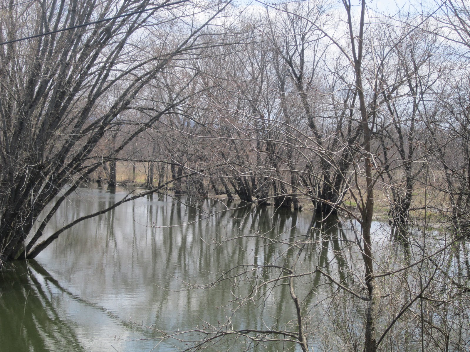
To the left was a breathtaking view of the Mill River.
Natalie poses with the Kingsley!
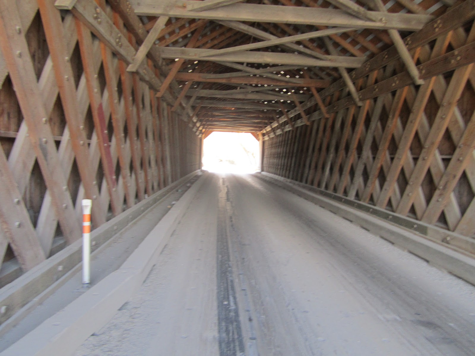
It was starting to sprinkle, as we took time to appreciate the Town lattice truss.
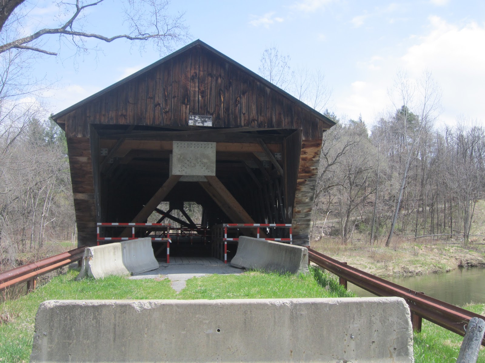
A regal bridge, but don't be fooled, there are many warnings to heed.
We were led to believe on truck driver did not take the posted warnings seriously.
Next stop the Brown Covered Bridge.
We found the road and were greeted with many signs.
MANY signs!
Did I mention that there were signs at the opening of the road? We knew we were in the right place.
There were also several Jersey barriers at the opening of the road.
When we saw this, we wished that we had brought an anonymous chaperone with us.
We crossed the Jersey barriers.
We started walking down the dirt road. NBD.
No bridge and no danger, yet.
Then we saw this. A section of the road had been washed away and there was a deep ravine with a rapid flowing river at the bottom. Now we saw what all the fuss was about. Very creepy. We timidly proceeded on.
At the base of the hill, this is what we saw.
We also saw this sign. No funny business going on down here.
This picture doesn't do the destruction we witnessed justice. It was as if a mudslide or microburst had come down the hillside taking trees and land with it. It is amazing to witness the destructive power of nature.
It appeared that all life in the direct area was wiped away.
However, the Brown continues to stand tall.
Imagine the stories this bridge would tell.
Here is another picture of the destruction. The trees were just tossed aside.
This is the dirt road that we needed to climb back up.
After we saw this, we knew walking on the bridge wasn't a great idea.
Good bye and good luck, Brown!
Smile! I am 93% sure the surveillance camera was hidden in this bat house.
Another view of the rushing water of the Cold River.
Yes, the Twin bridge is now used as storage unit.
In its heyday this bridge spanned the East Creek. Now, it has retired.
This horse took great amusement in Natalie's surprise.
Then it was onto the first of four bridges in Pittsford, VT.
All 114.6 feet of the Gorham Covered Bridge.
The Gorham stands tall on the Pittsford and Proctor town line.
In the summer of 2004, the construction of this bridge was completed. The original bridge was built in 1842. The first bridge was destroyed by floods (like many VT bridges.)
Natalie crossing the Gorham. Very similar to Washington crossing the Delaware.
The Otter Creek, but sadly no otters while we were there.
The Gorham had cute little triangles to let light into the bridge.
Next stop, Elm Street and the Cooley bridge.
The Cooley was built in 1849. It was named for the family who owned the farm that surrounded the bridge.
The bridge was restored in 2003-2004. Vermont takes good care of their bridges!
Waterfront property on the Furnace Brook!
Open concept bridges can be scary!
There are even trails connecting some of the covered bridges.
As we travel through VT, they appear to be improving upon their labeling of their treasures.
What a beautiful day to be a blogger on vacation!
We passed through Brandon to visit the Sanderson.
This bridge also crosses Otter Creek. Still no otters, but quite the view!
It was very peaceful.
The bridge is surrounded on 3 corners by farmland and is framed with the Green Mountains in the distance.
Another fine example of the town lattice truss system!
These bloggers were a little concerned about the makeshift restraints that were placed to hold up the bridge. But no one asked us...
With the Hammond our Pittsford Bridge count was 3/4.
Great job labeling, Pittsford!
With all of the reflective tape and Jersey barriers we were a little hesitant. But we proceeded with caution.
Another view of the Otter Creek. Actual otter count 0 :( There is no truth in advertising anymore!
No otters, but I do love this view from the bridge.
Natalie loves exploring the maze-like railing path across this bridge. We had never seen a predetermined path for crossing a bridge, until now.
I can't be certain, but this MIGHT be the original clearnence sign from 1842. That is how the spelled clearance, prior to the civil war.
Hay! An important addition to any bridge!
There were about 20 babies' feet that were inked onto the truss of this bridge. Some of the feet had names and dates attached to them. If anyone can share more about this, please let me know. I am intrigued by the meaning behind these footprints.
Natalie ponders the meaning of life...
A breathtaking and peaceful view.
The Depot Bridge is located on Depot Hill. The railroad depot used to be located up the street from this bridge.
This was one of the quietest bridges that we have visited in VT, so far.
And there was a doughnut involved!
Pittsford is a fan of the town lattice truss.
Natalie is also a fan of the town lattice truss!
Look at these support beams!
The Otter Creek, sadly still no otters.
I thought I saw an otter in this plants, but it was a log. Maybe an otter time!
Such a pretty setting for the Depot! We will miss your beauty and your bridges, Pittsford!
It's the privately owned Howe Bridge.
The Howes store a ladder on their bridge. "Howe" fun!
Natalie, how many bridges does that make?
Oops! Move that decimal point...
100 covered bridges in a calendar year! Woo hoo! But wait, there's more...
Our final leg of the journey brought us to Royalton, VT. We crossed a shiny gate and were greeted with this...
Here is the monument. The grounds were beautiful and very well maintained.
We left with this pleasant sign.
Our visit certainly was worth while!
To be honest, our maiden voyage of the covered bridges of the Green Mountain State has been VERY worth while and informative. I can't wait to see what else the state has to offer!


No comments:
Post a Comment