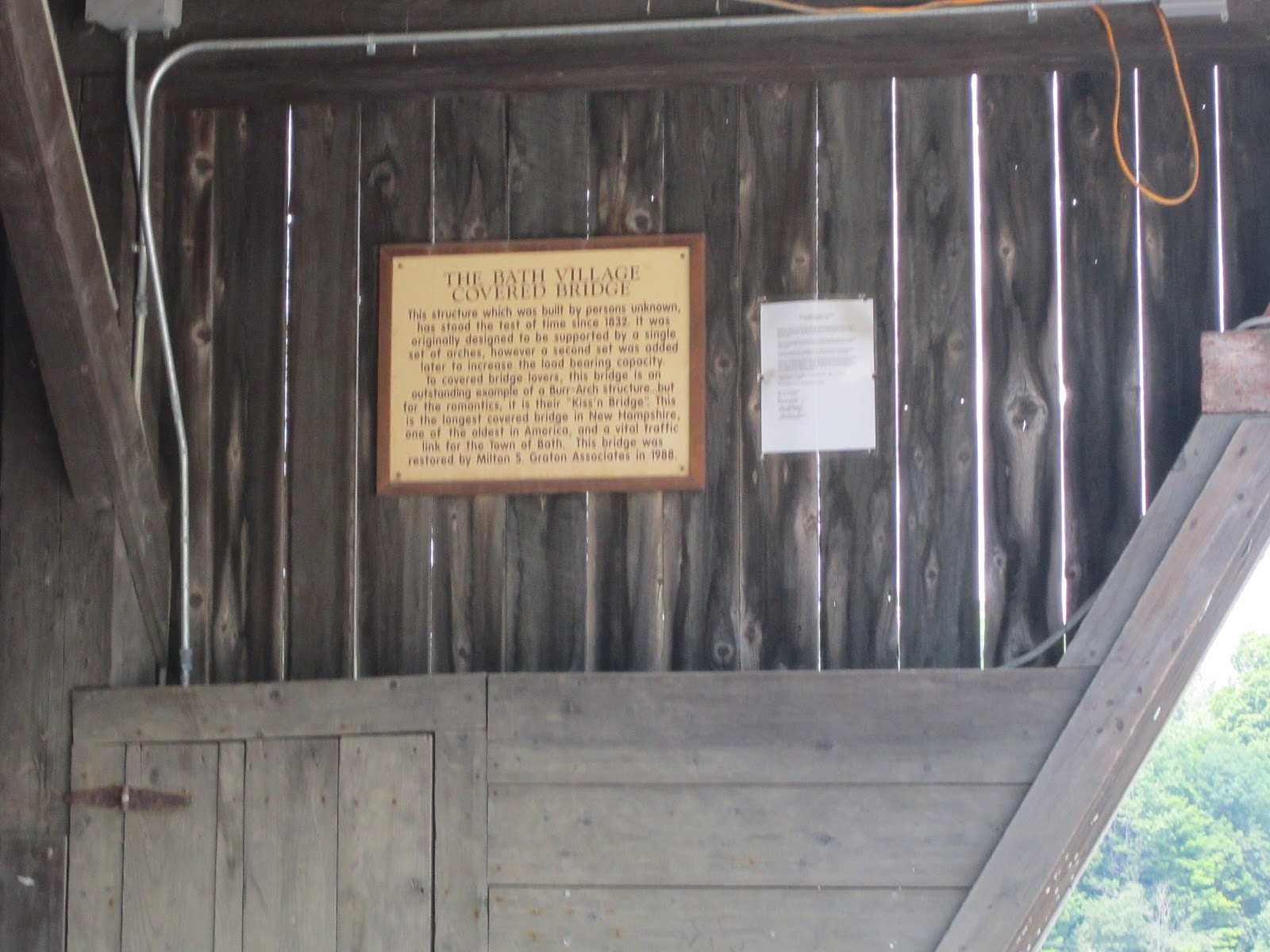
Our next bridge was located right off the campus of Kimball-Union Academy. This bridge is also the source of a local swimming hole.


Here is the Meriden Covered Bridge, constructed in 1880.

There is quite a drop off, so you don't want to jump from the bridge.

This was the first bridge where we ran into people walking on the bridge. However, most of those pedestrians were cheering on people who were swimming.

The next bridge was a major mile marker in our journey. You will have to read Natalie's portion to find out why.

Here is the Blow Me Down. It was built in 1877, but was rebuilt years later.

This is the first bridge that we have visited that had a mini museum with relics from the former bridge.

The holes in the wood are where lightning struck the bridge years ago. Learning is fun!

There was also quite a drop from this bridge.


This was a view at the end of the bridge.

This is the time warp machine...

This is the abandoned truck on the other side of the truck. What a difference from the storybook cottage on the other side!
Before presenting the next bridge, I need to extend my apologies to Natalie's mother. This is the bridge where I almost killed Natalie...

Here is the Cornish-Winsor Covered Bridge. It is the longest covered bridge in the United States. It is very long. It is a narrow two way bridge without a sidewalk. It is also very dark inside. We leaped out of the car to start taking pictures. We debated about whether or not we should walk across the bridge and back. A bicyclist, rode past us and that's when I announced we can do it!

What a view!

We didn't have our horse, so there was no fine for us! (Can you see how dark it is?)

Phew! We reached the otherside!

I thought the coast was clear, but when we were about a third of the way across another car started coming so Natalie and I had to make a run for it.
(This picture could also be entitled: The Day We Ran from VT to NH.)
This is also the time that I admitted to Natalie that this was probably one of the top 20 stupidest things I have done. For those of you keeping track, looking for a Covered Bridge behind a Car Wash in Franklin is also on the list.

Back in our car safe and sound. Driving across the same route is so less stressful.

Natalie takes a picture of the Cornish-Winsor. See how long that is. It must be a Longfellow bridge :) Those are the jokes you pick up on when your navigator is an English Teacher.

Here is the simple Dingleton Hill Bridge. It is NH Covered Bridge #22.


We found Bridge #22 and we didn't have to run for our lives!

This was one of the first signs where you can see the state bridge sign with the bridge.
Next it was onto the Blacksmith Bridge. It was built and used by a local family.
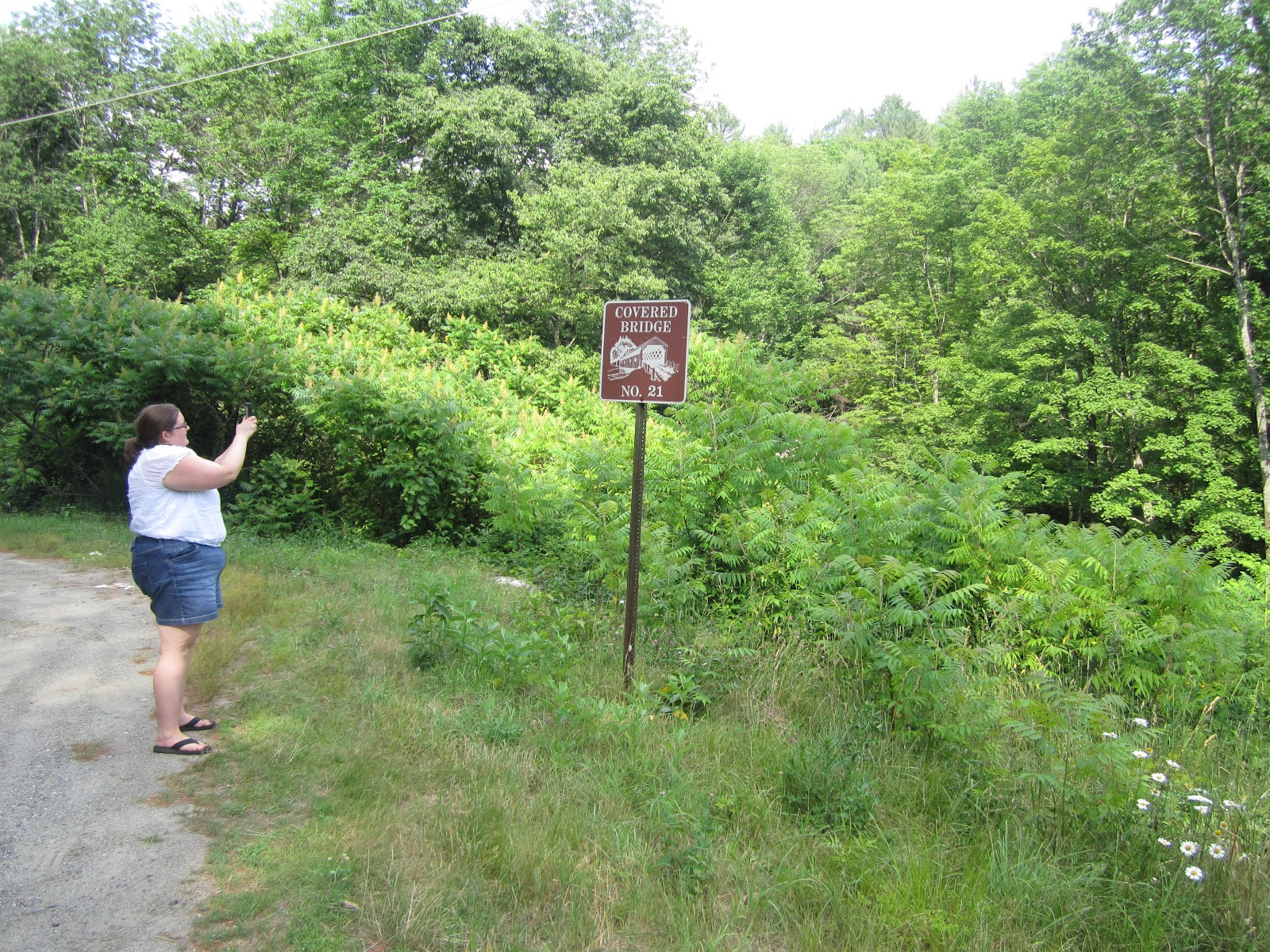
Shortly after this picture, we considered bushwhacking to get to the Blacksmith. Then we remembered the words of the AC, "Why don't you just use the path?"

So here is the Blacksmith. We pushed passed the posts and were greet by the American flag and a sign that said "Pass at your Own Risk." Great!

Ooo! Nice view!

Time to make a break for it. It's a little spooky here.

Good bye, Blacksmith!
After this bridge it was time for an ice cream and cold beverage break. Bridge hunting and summer vacation is very hard work.